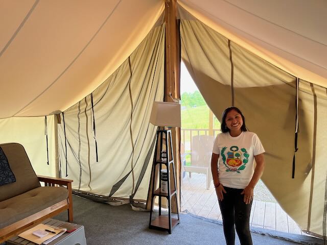
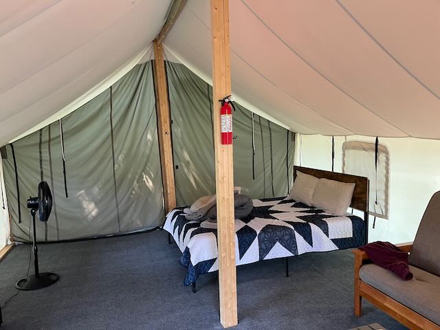
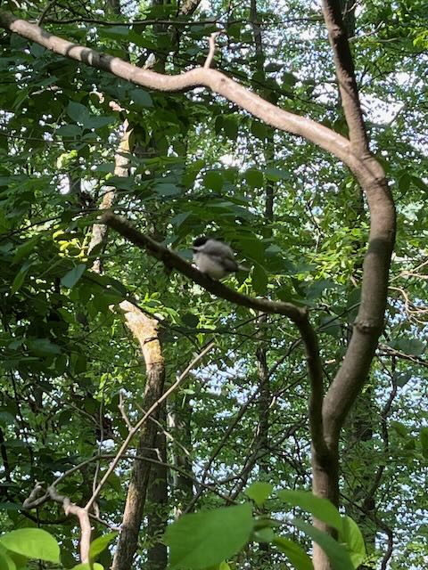
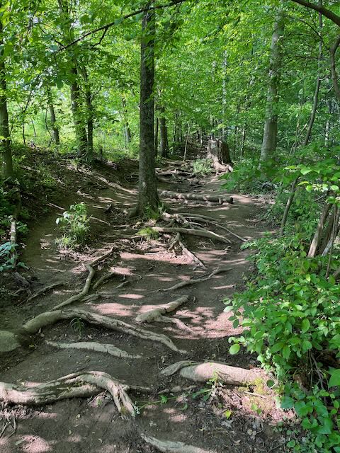
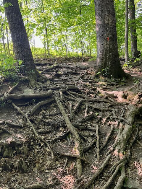
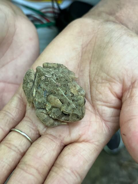
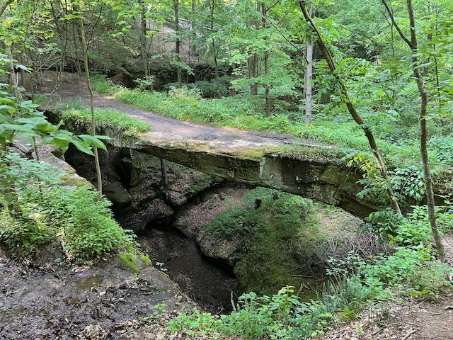
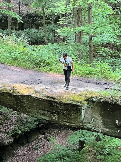
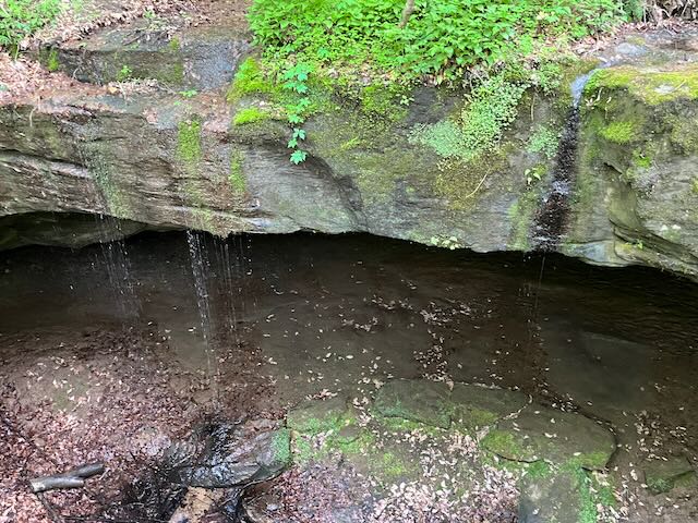
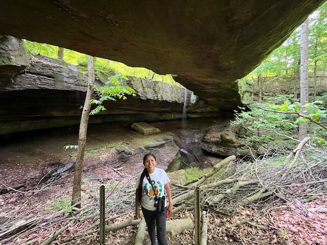
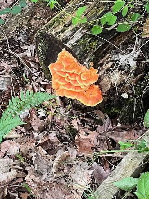
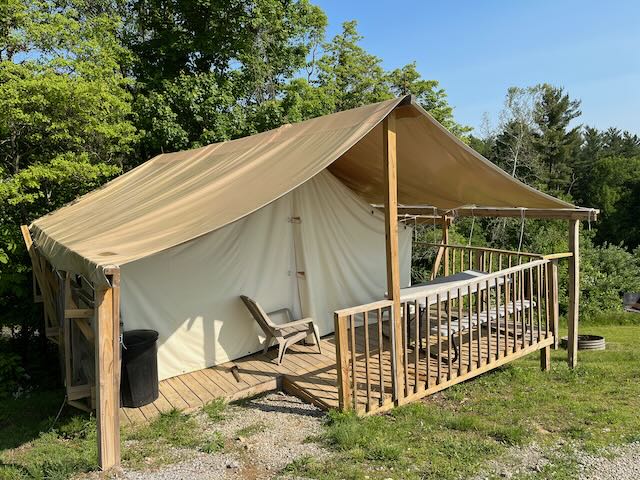
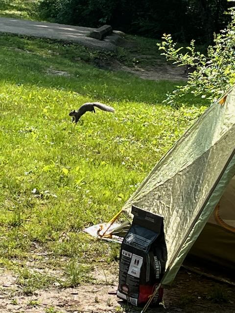
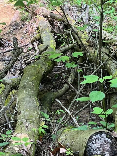
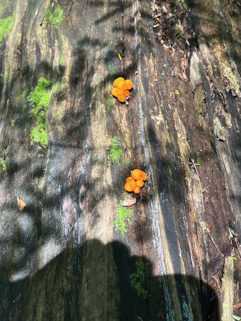
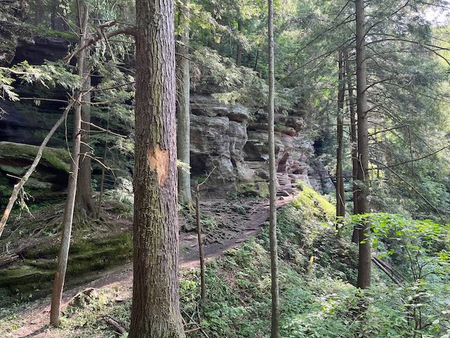
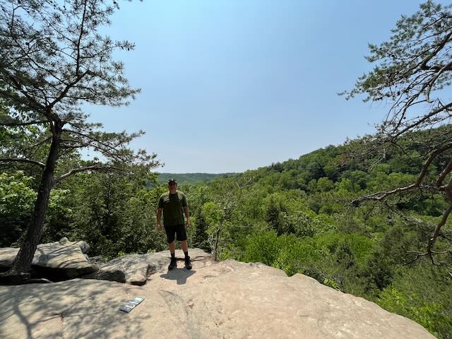
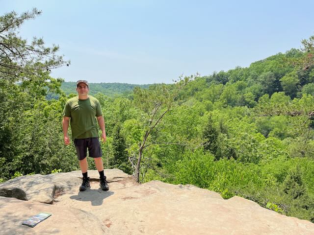
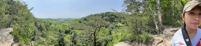
Over the weekend of Shirleys birthday we took a trip to Hocking Hill State Park in Logan, Ohio. It is an easy and scenic 2 hour trip from Wheeling, WV. The first night we stayed at Hilltop Campgrounds in a large canvas tent with a bed and small wooden porch. The campground was nice and had many activities including, corn hole, firepits, swings, a jumping pillow, mini golf, canoes, and trails. Once we checked in and got the truck unpacked we decided to take a walk around the campground and down to Lake Logan. After we got back to the campsite we then decided to take a short drive and hike to the Rockbridge State Nature Preserve which was about a 3 mile hike from the parking area. The hike was scenic but the path was covered with tree roots which made it a little challenging. We saw many birds along the way and Shirley was able to use the binoculars I got for her birthday. Along the hike we also saw some turkey tail mushrooms, toads, deer, other flora, and even a tree with Shirley’s maiden name carved in it. During the hike we only saw two other couples on the trail and when we got to the Rockbridge we were both impressed with the natural bridge created by mother nature connecting two areas of the forest. The bridge is about 100 feet long and 10 feet wide, which gracefully arches 50 feet across a ravine. We spent some time exploring the area and even went under the bridge to explore before returning to the truck and driving back to the campsite to eat some delicious empanadas which Shirley had made to take with us camping. We enjoyed eating empanadas while sitting around the fire and looking up at the stars that evening.
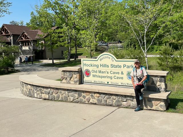
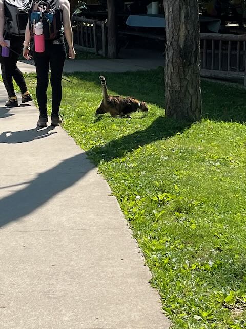
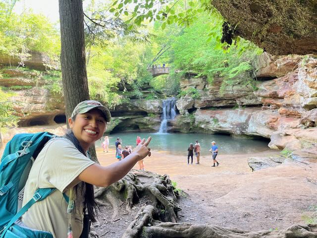
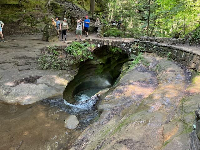
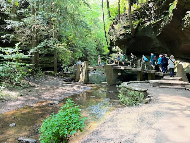
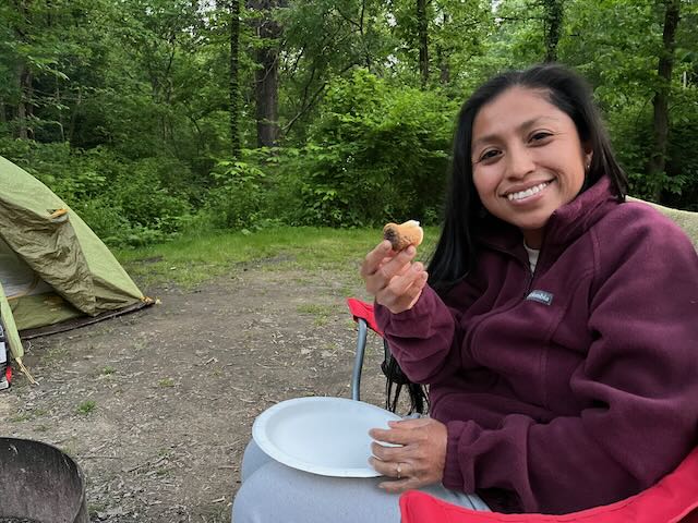
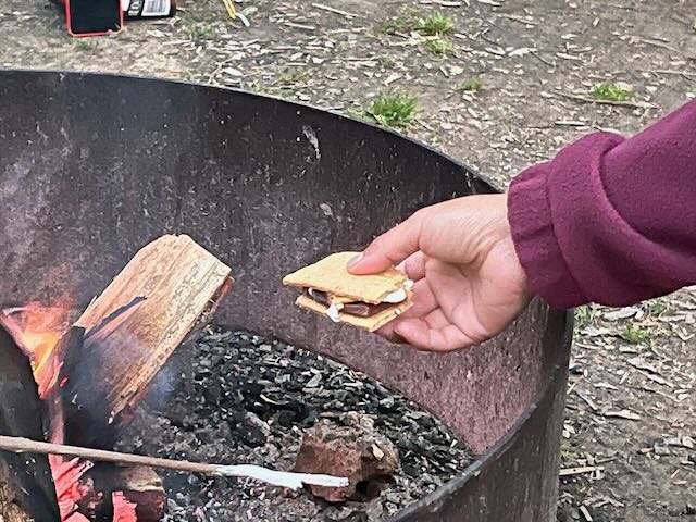
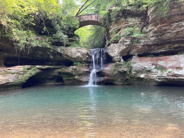
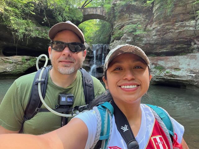
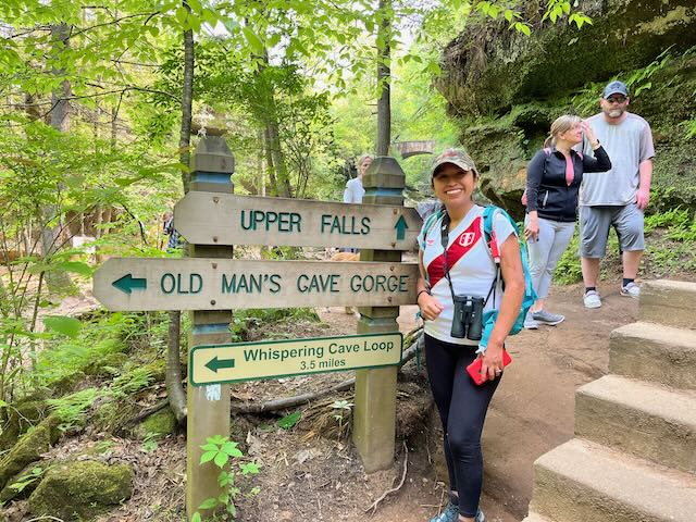
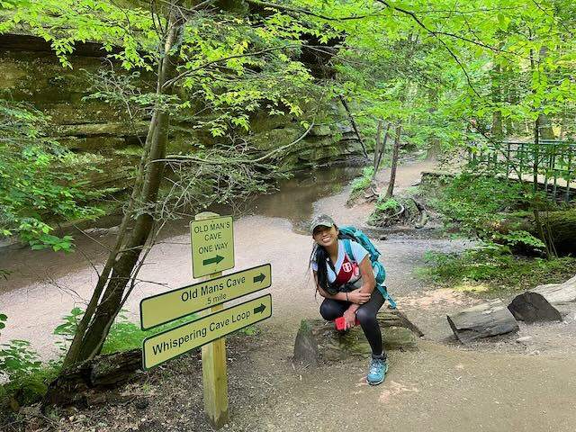
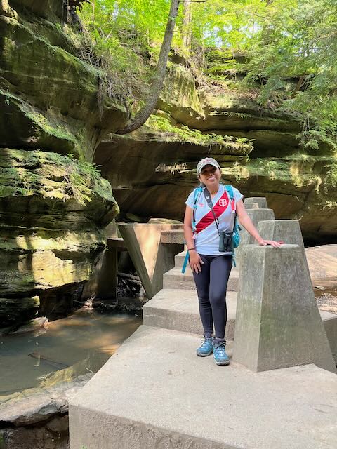
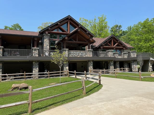
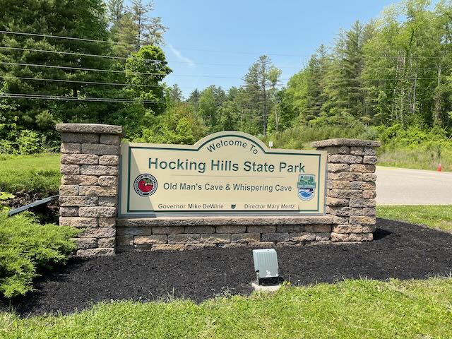
‘The following day we made our way to Hocking Hills which was only about a 30 minute drive from Hilltop Campground. Once we got to Hocking Hills we visited the Welcome Center and made a game plan for the day. We were not able to check in to our campsite in the state park until 3:00 PM so we decided to go ahead and hike the Upper Falls to Lower Falls which is the Old Mans Cave section of the park. The park was crowded and does allow dogs and we also ran into a couple with a cat on a leash which the dogs did not seem to appreciate. The hike from Upper Falls to Lower Falls is only about .75 miles and is a beautiful hike deep in a ravine full of water features including the Devil Bathtub at which point I dropped by GoPro and almost lost it in the Devils Bathtub. After recovering my GoPro We headed toward the unique triangle infinity concrete bridge that crosses the creek running through the Old Mans Cave area. We continued on the trail past Old Mans cave to the lower falls instead of hiking up through Old Mans cave back to the Welcome Center. Once we got to the lower falls we relaxed by the water for awhile and enjoyed the scenery. We then made the decision to head back to the truck so we could check in at the state park campground and setup our campsite. The Hocking Hill State Park campground is nice and has bathroom/shower facilities, water, a pool, and even and outdoor movie theater. After setting up the campsite I started a fire so we could cook and make Shirley her first smore which she enjoyed tremendously. After eating dinner and more smores our camping neighbors warned us about a group of mischievous raccoons who would be paying us a visit later that night. Sure enough as soon as it was dark the raccoons invaded the campgrounds going from one campsite to another looking for food. I secured everything in the back of the truck and we had fun spot lighting the raccoons that night.
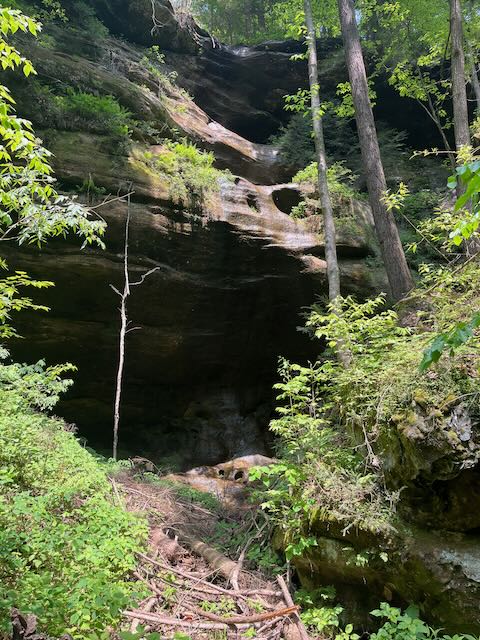
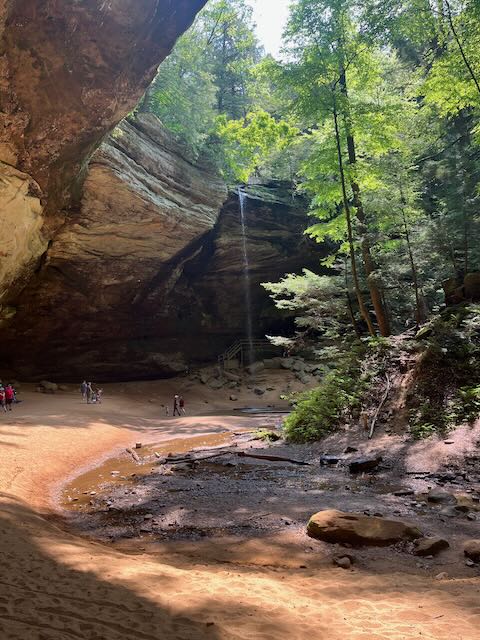
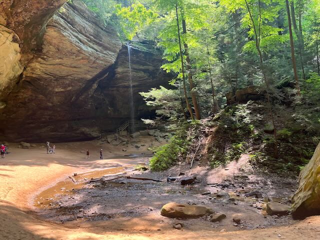
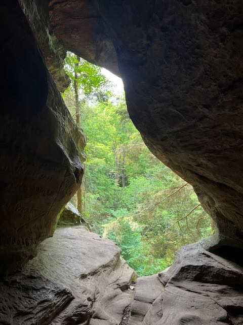
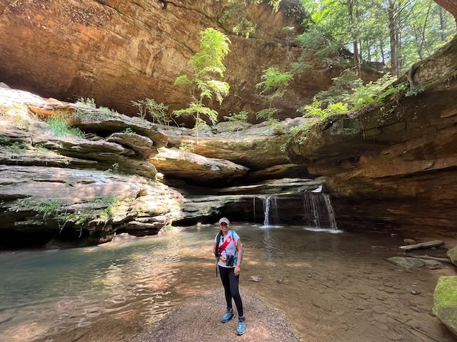
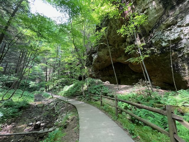
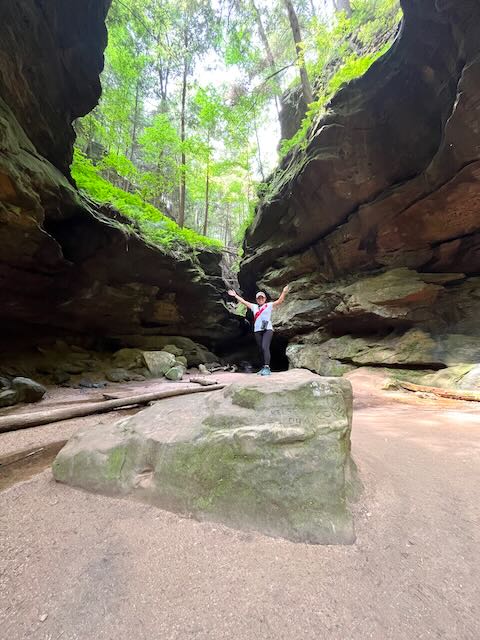
The next morning we got up and headed to Ash Cave, the largest, most impressive recess cave in the state of Ohio. The approach to Ash Cave is through a narrow gorge lined with stately hemlocks, massive beech trees and various other hardwoods. The valley floor offers brilliant displays of wildflowers in the all seasons including large flowered Trillium, Dutchman’s breeches, Trout lily, Jack-in-the Pulpit and Jewelweed. The narrow gorge is approximately one-fourth mile in length and with astonishing suddenness gives way to the tremendous overhanging ledge and cave shelter with waterfall.
The horseshoe-shaped cave is massive; measuring 700 feet from end to end, 100 feet deep from the rear cave wall to its front edge with the rim rising 90 feet high. A small tributary of the East Fork of Queer Creek cascades over the rim into a small plunge pool below. The cave was formed like the others in this region; the middle layer of the Blackhand sandstone has been weathered or eroded while the more resistant upper and lower zones have remained intact.
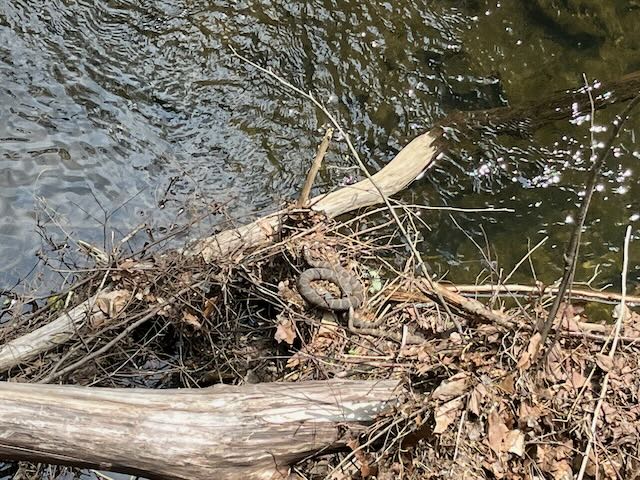
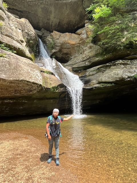
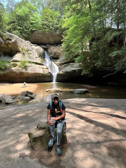
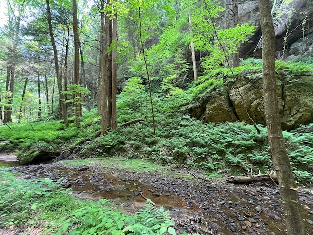
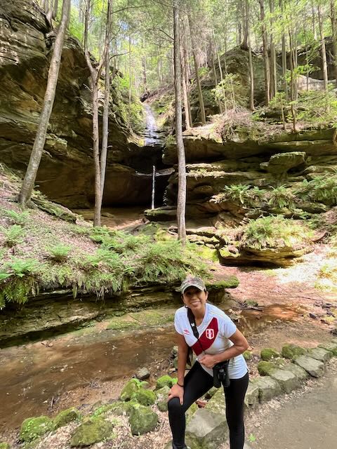
Ash Cave is named after the huge pile of ashes found under the shelter by early settlers. The source of the ashes is unknown but is believed to be from Indian campfires built up over hundreds of years. A test excavation of the ashes in 1877 revealed sticks, arrows, stalks of coarse grasses, animal bones in great variety, bits of pottery, flints, and corn cobs. The cave was most likeley used my Indians and settles for shelter. The water coming down from the top is impressive and pictures do not do justice to just how large the cave is and how small it makes you feel. Once we hiked to the top we decided to go ahead and hike the Grandma Gatewood trail to Cedar Falls. This is an amazing hike full of beautiful scenery which is about a 3 mile hike. Once we got to Cedar Falls we stopped at the picnic area and ate some trail mix and a sandwich before continuing down to Cedar Falls. Along the way we saw a water moccasin sunbathing below a bridge which made Shirley cringe as she does not like snakes. We continued onto Cedar Falls which was amazing to see how the water just seemed to carve through and shoot out of the rocks. It is probably my favorite waterfall in Hocking Hills State Park. We relaxed sunbathing by the water and enjoyed the fresh air coming off of the waterfall before heading back on the trail back to Ash Cave and eventually to the truck at which time we decided to drive to Rock House.
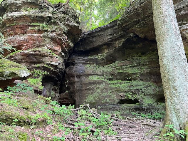
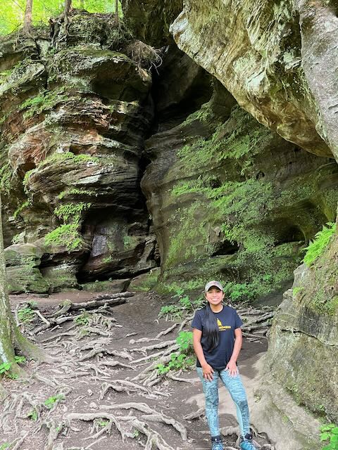
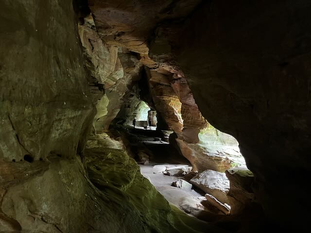
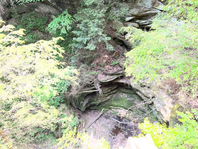
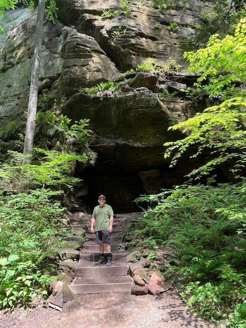
Driving around Hocking Hills can be challenging since your phone most likely will not have reception so using your phones GPS is sketchy at best. So after a few wrong turns we found our way to Rock House which was not crowded and we easily found a parking spot at the rear entrance of the cavern. We excited my truck and started the steep decent down a trail that leads to the caverns. Rock House is the only true cave in Hocking Hills State Park, this expansive tunnel-like corridor is situated halfway up a 150-foot cliff of Blackhand Sandstone. The cavern features natural cut-outs which look like windows. Used by Native Americans for turpentine stills, by pioneers for animal shelter, and even by criminals for a hideout, Rock House has a unique history. The caverns are dark, the rocks are smooth and the caves stretch for about 100 yards. The caves do have an odor and also have bats and other birds nesting inside. We made our way through the caves like ancient explorers and pretty much had the caves to ourselves except for an older oriental couple. We tried to continue on the trail past the caves but a tree had come down and taken out a bridge and there was no option to navigate around it so we turned around and headed back up the steep hill to the truck.
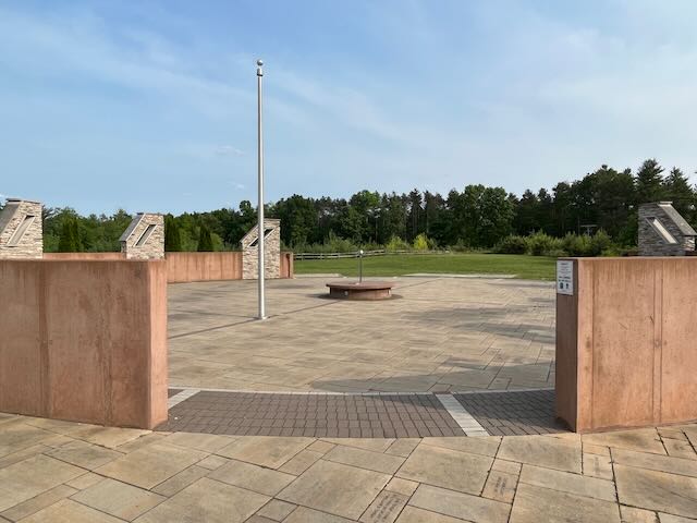
We left Rock House and on the way back to the campground we stopped at the John Glenn Astronomy Park. The John Glenn Astronomy Park is dedicated to sparking an interest in science, discovery, and exploration by sharing with visitors the wonders of the sky, both day and night. We found it interesting an spent some like reading and discovery astronomy through a variety of activities at the park. We left the park and drove back to the campground to celebrate Shirleys actual birthday with a bottle of wine and kabobs over the campfire. We enjoyed the campfire, starlit sky, and quiet solitude of the forest although we did get a visit from the pesky raccoons which we actually enjoyed.
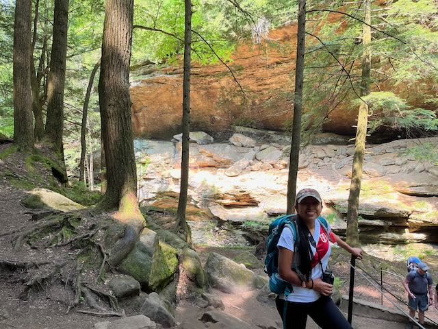
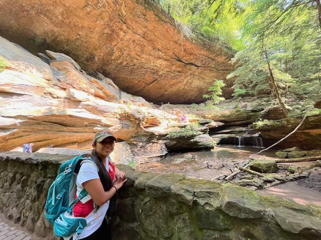
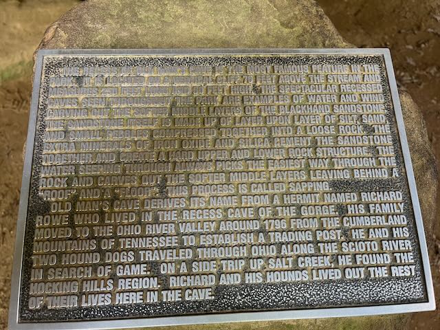
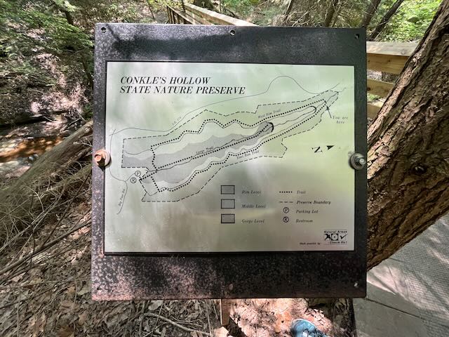
The next morning was the last day of our trip so we got up early and packed up the truck but decided to hike the upper falls up through Old Mans cave since we to passed it and hiked through to the lower falls the day before. The park was not nearly as crowded and we had some moments when it was just us. We again hiked over the infinity triangle bridge and this time was able to get some pictures. The bridge is unique and if you look down as you walk over the bridge it looks like the steps are floating over the water. After crossing the bridge we approached Old Mans Cave and pictures do not due justice to the size of this overhanging recess cave. Old Mans Cave gets its name from a pioneer named Richard Rowe who lived in the large recess cave of the gorge. His family moved to the Ohio River Valley around 1796 from the Cumberland Mountains of Tennessee to establish a trading post. He and his dogs traveled through Ohio along the Scioto River in search of game. On one side trip up Salt Creek, he found the Hocking Hills region. Rowe lived out his life in the area and is said to be buried beneath the ledge of the main recess cave. I imagined what it would be like to live in this cave hundreds of years ago which may have been intimidating but must have been a true sense of freedom. We continued hiking until we reached the welcome center at which time we decided to sit in the Adirondack chairs on the gigantic porches and observe the atmosphere. Since neither of us wanted to leave and I had wifi close to the welcome center I did some research and we decided to do one last hike at Cockle’s Hollow which is not a part of Hocking Hills but nearby.
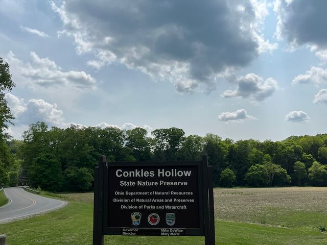
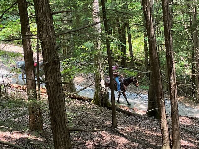
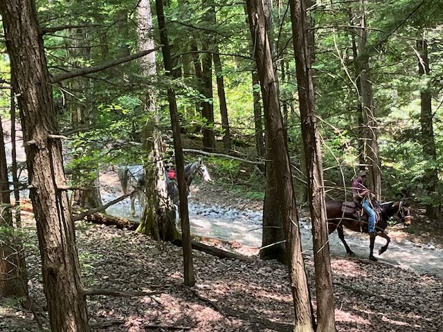
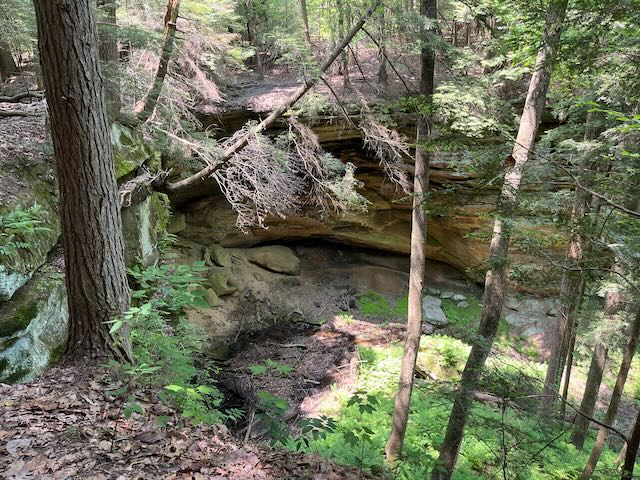
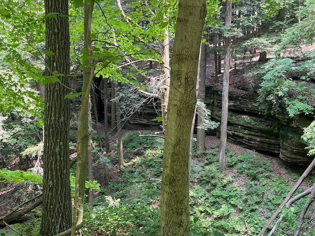
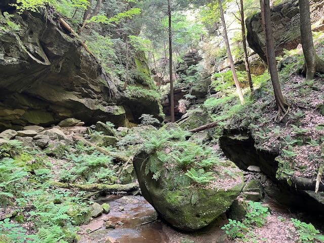
Conkle’s Hollow is situated off S.R. 374 on Big Pine Road and it is a rugged, rocky gorge – considered one of the deepest in all of Ohio. This hollow was named for W.J. Conkle who left his name and the date 1797 carved into the sandstone on the west wall of the gorge. Conkles Hollow is a state nature preserve operated by ODNR Division of Natural Areas and Preserves. The valley floor is a veritable wilderness covered by a variety of ferns and wildflowers while hemlock, birch and other hardwood tower overhead. The growth is so thick in places that little or no sunlight reaches the deep valley floor. There are two hikes at Conkle’s Hallow which are the rim hike and ravine hike. As we approached the trailhead a conservation officer was recording some data so we talked with her for awhile about the park, wildlife, and history. She recommended that we hike the rim first since it is the most challenging. The rim trail is on top of the cliffs and circles the gorge for about 2 miles but starts with a steep hike up to the top of the ravine. As we hiked up through to the top we saw some men on an adjacent trail riding horseback which felt nastalgic. These cliffs are the highest in the area and provide some of the most beautiful scenery in the valley. We proceeded cautiously as it can be extremely dangerous on this trail and stopped occasionally on the cliffs edge to take pictures while we enjoyed the overlooks. As we walked the rim we could peer down into the ravine and occasional hear people who were hiking down inside the ravine.
A folk legend speaks of a petroglyph that was found on the gorge wall by early settlers. The carving was fashioned as an arrow pointing to the opposite side of the hollow. As the legend goes, a small band of Indians robbed a flotilla of settlers along the Ohio River of a large amount money. The Indians journeyed to Conkle’s Hollow to hide the stolen goods until the danger had passed. A small recess was located on the west gorge wall and was reachable only by climbing one of the two towering hemlocks growing at the base of the cliff. First, they had to cut one of the trees so that when it fell it served as a ladder to the recess cave above. They hid the money and carved the directional arrow on the opposite side of the gorge which pointed to the hiding spot. The Indians then shoved the hemlock to the gorge floor leaving only one standing in order to retrieve the goods later. As time passed and efforts of the settlers to find the Indians had ceased, the thieves returned for the stolen property. Much to their chagrin, the other hemlock had been felled during a storm, and the stolen money remains to this day somewhere in the hollow. Many locals claim having seen the carving, but it has since eroded away.
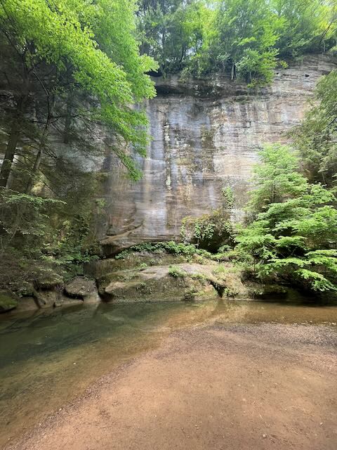
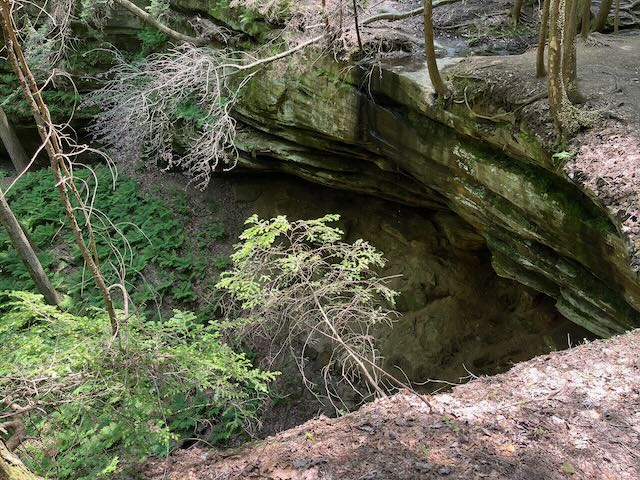
We continued the hike around the rim crossing a bridge at the mid way point and we eventually reached the end which was initiated by a gigantic set of steps leading back down into the ravine. We briskly walked down the steps to the ravine until we reached the bottom at which point we spotted a good rock for our garden. At this point we decided to hike the second trail up through the ravine. The trail leading up the narrow half-mile long ravine is surrounded by vertical cliffs rising over 200 feet above the mouth of the gorge. As the trail continues, the gorge narrows further to only a distance of 300 feet from cliff to cliff. As we hiked the trail Shirley spotted a tree with a heart shape knot in it so we stopped for a picture. The trail is not difficult until you get toward the end at which point you need to navigate large boulders and narrow walkways. The trail ends with a large cascading waterfall surrounded by the rock walls of the ravine which was spectacular. We enjoyed the secluded waterfall to ourselves for awhile before hiking back out of the ravine to the truck and headed back home. Although we did not find the money told by the folk legend we did find a lot of natural treasures. I enjoyed this trip tremendously and If you like nature, hiking, and history I highly recommend you visit Hocking Hills State Park and the surrounding area. https://www.hockinghills.com
Hocking HIlls State Park Camping Trip 2023 video on Weighing The Heart Youtube Channel: https://youtu.be/Y7wT0eh_Nj0